Brussels topographic map
You can find on this page the Brussels topographic map to print and to download in PDF. The Brussels elevation map present the topography, river and relief of Brussels in Belgium.
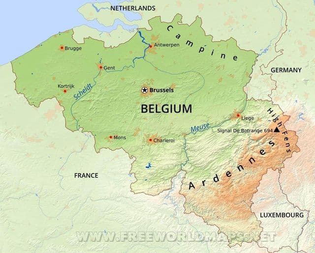
Brussels elevation map
The Brussels topographic map shows elevation, hills and landforms in Brussels. This elevation map of Brussels will allow you to know topography, river and relief of Brussels in Belgium. The Brussels topographic map is downloadable in PDF, printable and free.
Brussels is located in the heartland of the Brabantian Plateau, about 45 km (28 mi) south of Antwerp (Flanders), and 50 km (31 mi) north of Charleroi (Wallonia). Brussels average elevation is 57 metres (187 feet) above sea level as its mentioned in Brussels elevation map, varying from a low point in the valley of the almost completely covered Senne, which cuts the region from east to west, up to high points in the Sonian Forest, on its southeastern side.